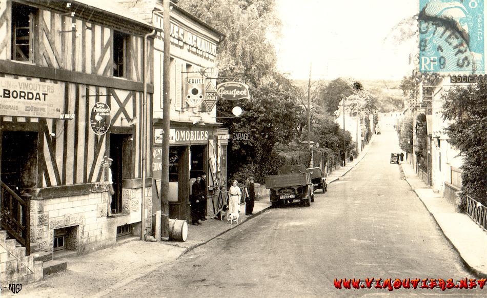
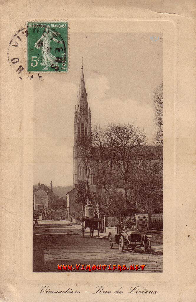
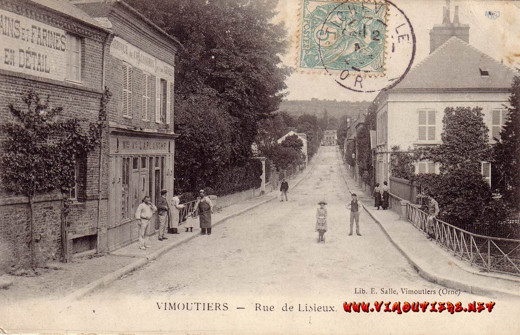
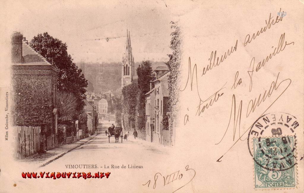
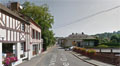
VIMOUTIERS of  the  Pays d'Auge  in  NORMANDY

Home

Website map

Miscellaneous

Market Place

Religious

Buildings

Events

La Vie, the river

Overall pictures

Surroundings

Unclassifiable

Maps

OLD PICTURES - VINTAGE CARDS

la rue de Lisieux


In search of lost time : Best viewed full-screen, click pictures then enlarge.


La rue de Lisieux


nowadays rue du Général de Gaulle.

On the left picture, the wheat mill which was one of the most important of the 727 water mills inventoried in the department in 1805.

The rue Louis Pasteur, temporarily named Rue Napoleon, is the first one on the left in the third picture.


"In 1336, as mentioned in a charter, the Monks of Jumieges are permitted to build two mills. It is probably at that time that the reach of the river, the "bief" was digged and the mill constructed rue du Moulin. In 1720, it is mentioned as a "wheat mill". The second mill, initially a tan mill, was constructed where the above one is, and is mentioned on the map of 1779 along the "chemin de Livarot".


contact/webmaster

copyright©2005-08

Geo Visitors Map